MAKE A MEME
View Large Image

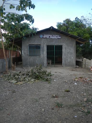
| View Original: | 0428jfSibul Springs BiaknaBato Park Road Madlum River Bridge San Miguel Bulacanfvf 07.JPG (3456x4608) | |||
| Download: | Original | Medium | Small | Thumb |
| Courtesy of: | commons.wikimedia.org | More Like This | ||
| Keywords: 0428jfSibul Springs BiaknaBato Park Road Madlum River Bridge San Miguel Bulacanfvf 07.JPG Barangay http //wikimapia org/29986523/Sibul Sibul Springs beside http //wikimapia org/29986605/Biak-na-Bato Biak-na-Bato San Miguel Bulacan; http //www waypoints ph/detail_gen php wpt madlum Madlum 15° 10 212N 121° 04 973E ; Bulacan State U officials dismissed due to the August 19 2014 drowning of 7 students; the Madlum Cave to reach http //www gmanetwork com/news/story/557667/lifestyle/travel/nothing-set-in-stone-on-mt-manalmon Mount Manalmon http //newsinfo inquirer net/635161/lapses-found-in-field-trip-tragedy huge white boulders beside Mount Gola farther left is Mount Arayat in Pampanga; Bridge Load Limit 10 persons Presidential Proclamation No 401 April 11 1989 Madlum Caves Bayukbok I Cave and Bayukbok II Cave parts of the Biak-na-Bato National Park Republic of Biak-na-Bato https //en wikipedia org/wiki/List_of_protected_areas_of_the_Philippines protected areas IUCN category V protected landscape/seascape http //en wikipedia org/wiki/Breast-shaped_hill Breast-shaped hill Mount Susong Dalaga and Tilandong Falls are also popular attractions inside the 658 8497 hectares Park under the jurisdiction and located in Doña Remedios Trinidad Bulacan and San Miguel Bulacan along the Sibul Springs-BiaknaBato San Miguel Bulacan Farm to Market Road interconnecting with and from the Salangan-Santa Rita Bata-Santa Rita Matanda-San Juan-Tibagan-Pulong Bayabas-Pacalag San Miguel-Buhol na Mangga San Ildefonso Bulacan National Road accessed along and from the Maharlika Highway Cagayan Valley Road San Miguel Bulacan section of the Pan-Philippine Highway also known as the Maharlika Nobility/freeman Highway or Asian Highway 26 Cagayan Valley Road 2016-03-07 16 30 25 own Judgefloro other versions Sitio Madlum Sibul Springs San Miguel Bulacan | ||||