MAKE A MEME
View Large Image

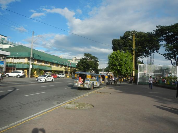
| View Original: | 08602jfSumulong Highway Amang Rodriguez Center Shoe Avenue Marikina Cityfvf 21.jpg (4608x3456) | |||
| Download: | Original | Medium | Small | Thumb |
| Courtesy of: | commons.wikimedia.org | More Like This | ||
| Keywords: 08602jfSumulong Highway Amang Rodriguez Center Shoe Avenue Marikina Cityfvf 21.jpg List of landmarks and attractions of Marikina en Marikina_Sports_Complex Marikina Sports Complex http //wikimapia org/354421/Marikina-Sports-Center Marikina Sports Complex 14°38'4 N 121°5'54 E https //marikinacity wordpress com/about-marikina/ Marikina Cityhood Park along Shoe Avenue Marikina Market Mall Centro Felicidad Amang Rodriguez Memorial Medical Center affiliate of Medical Colleges of Northern Philippines in the List of barangays of Metro Manila Barangays of Marikina http //marikina gov ph/ /barangays City Barangay http //wikimapia org/14355668/Santo-Ni C3 B1o Santo Niño beside Santa Elena Marikina Marikina City along W C Paz Street corner http //wikimapia org/street/66782/A-Bonifacio-Avenue A Bonifacio Avenue 14°38'1 N 121°5'7 E Andres Bonifacio Avenue corner Sumulong Highway connected by http //wikimapia org/1176832/Marikina-Bridge Marikina Bridge 14°38'9 N 121°5'35 E Load Limit 20 metric tons K0014+970 K0014+942 K0014+842 I Love Marikina City Welcome Arch Santo Nino - Jesus de la Pena Markikina River A Bonifacio Avenue Notes Judge Florentino Floro the owner to repeat Donor Florentino Floro of all these photos hereby donate gratuitously freely and unconditionally all these photos to and for Wikimedia Commons exclusively for public use of the public domain and again without any condition whatsoever 2016-11-22 15 34 40 own Judgefloro other versions 14 638889 121 100833 heading 81 73 http //wikimapia org/14355668/Santo-Ni C3 B1o Santo Niño 14°38'20 N 121°6'3 E cc-zero Sumulong Highway Marikina City section | ||||