MAKE A MEME
View Large Image

| View Original: | 1728_Homann_Map_of_Bavaria,_Germany_-_Geographicus_-_Bavariae-homann-1728.jpg (4301x5000) | |||
| Download: | Original | Medium | Small | Thumb |
| Courtesy of: | commons.wikimedia.org | More Like This | ||
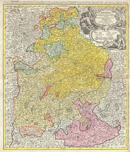
| Keywords: 1728 Homann Map of Bavaria, Germany - Geographicus - Bavariae-homann-1728.jpg This is a rare and attractive map of Bavaria Germany Covers from Rabiz as far south as Innsbruck including Munich Salzburg Passau Bamberg Nuremberg and Augsburg Detail includes cities forts some topographical features and districts Stunning decorative title cartouche in the upper right quadrant featuring soldiers cherubs greed gods and armorial decorations Additional title in French in upper margin La cercle de Baviere qui comprend la regence d'Amberg ¦ Prepared by J B Homann and issued as plate no 10 in Homann Heirs ™ Maior Atlas Scholasticus de Karte von Bayern im Jahre 1728 1728 undated Size in 19 22 5 object history credit line accession number Bavariae-homann-1728 <i>Major Atlas Scholasticus Ex Triginta sex Generalibus et Specialibus Mappis Homannianis </i> c 1730 / Also issued in Homann's <i>Grosser Atlas</i> Geographicus-source PD-old-100 Johann Baptist Homann Old maps of Bavaria Bavaria in the 18th century 1728 maps | ||||