MAKE A MEME
View Large Image

| View Original: | 1742_Covens_and_Mortier_Map_of_Martinique_-_Geographicus_-_Martinique-covensmortier-1742.jpg (5000x3942) | |||
| Download: | Original | Medium | Small | Thumb |
| Courtesy of: | commons.wikimedia.org | More Like This | ||
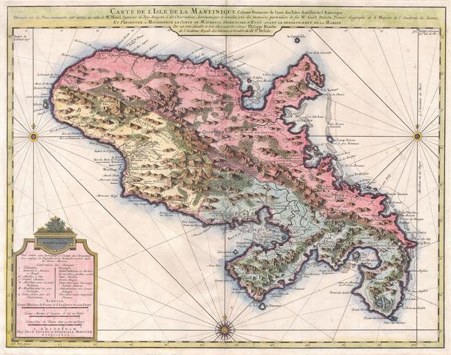
| Keywords: 1742 Covens and Mortier Map of Martinique - Geographicus - Martinique-covensmortier-1742.jpg A beautiful example of Covens Mortier ôs 1742 map of the French colony of Martinique in the West Indies Depicts the Island of Martinique divided into three sections two in the south and one in the north Includes both political and topographical information Beautifully hand colored Based upon the work of Guillaume DE L'ISLE 1675-1726 and Phillippe BUACHE 1700-1773 Prepared for the 1742 issue of Covens and Mortier ôs Atlas Nouveau circa 1742 undated Size in 23 5 18 5 object history credit line accession number Martinique-covensmortier-1742 Geographicus-source PD-old-100 Old maps of Martinique 1742 maps Maps in French Covens en Mortier French language maps of North America | ||||