MAKE A MEME
View Large Image

| View Original: | 1776_map_Newport_RhodeIsland_byDesBarres_BPL_12640.png (474x661) | |||
| Download: | Original | Medium | Small | Thumb |
| Courtesy of: | commons.wikimedia.org | More Like This | ||
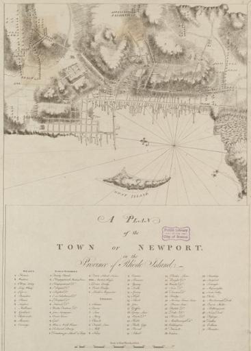
| Keywords: 1776 map Newport RhodeIsland byDesBarres BPL 12640.png A plan of the town of Newport in the province of Rhode Island Author Des Barres Joseph F W Publisher Des Barres Joseph F W Date 1776 Location Newport R I Dimension 71 x 49 cm Boston Public Library Norman B Leventhal Map Center http //maps bpl org/id/12640 1776 Des Barres Joseph F W PD-old-100 Newport Rhode Island in the 18th century Rhode Island in the 1770s Old maps of Rhode Island | ||||