MAKE A MEME
View Large Image

| View Original: | 1799_Celement_Cruttwell_Map_of_Germany_-_Geographicus_-_GermanySwitzerland-cruttwell-1799.jpg (3500x3107) | |||
| Download: | Original | Medium | Small | Thumb |
| Courtesy of: | commons.wikimedia.org | More Like This | ||
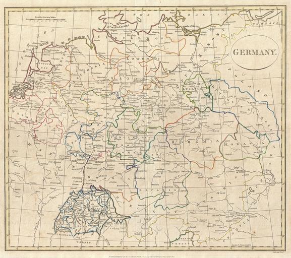
| Keywords: 1799 Celement Cruttwell Map of Germany - Geographicus - GermanySwitzerland-cruttwell-1799.jpg A fine 1799 map of Germany by the English map publisher Clement Cruttwell Includes the regions of Westphalia the Upper and Lower Rhine Circles of Upper and Lower Saxony Lusatia Dutchy of Silesia Moravia Bohemia Swabia Circle of Bavaria Circle of Franconia and the Circle of Austria Switzerland appears in the south Includes rivers political boundaries important cities ports and gulfs Mountains and other topographical features shown by profile Outline color and fine copper plate engraving in the minimalist English style prevalent in the late 18th and early 19th centuries Drawn by Clement Cruttwell and published in the 1799 Atlas to Cruttwell's Gazetteer 1799 dated Size in 15 14 object history credit line accession number GermanySwitzerland-cruttwell-1799 Cruttwell C <i>Atlas to Cruttwell's Gazetteer</i> 1799 Geographicus-source PD-Art-100 Maps by Clement Cruttwell Old maps of Germany 1799 maps Old maps of Switzerland Old maps of Austria Old maps of the Netherlands English language maps of Europe | ||||