MAKE A MEME
View Large Image

| View Original: | 1800_Rotterdam_detail_of_map_United_Provinces_of_Holland_by_Carey_BPL_12323.png (997x748) | |||
| Download: | Original | Medium | Small | Thumb |
| Courtesy of: | commons.wikimedia.org | More Like This | ||
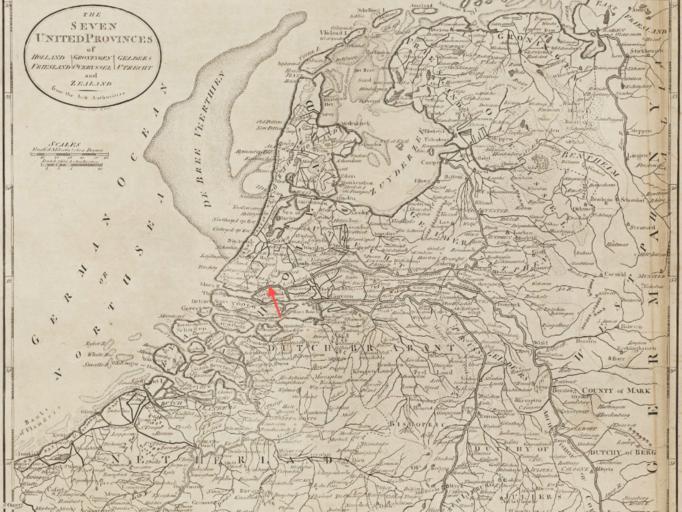
| Keywords: 1800 Rotterdam detail of map United Provinces of Holland by Carey BPL 12323.png Detail of The seven United provinces of Holland Groningen Gelders Friesland Overyssel Utrecht and Zealand from the best authorities Author Carey Mathew Publisher Carey Mathew Date 1800 Dimension 29 x 34 cm Boston Public Library Map Center / http //maps bpl org/id/12323 1800 Mathew Carey PD-old-100 Old maps of Rotterdam | ||||