MAKE A MEME
View Large Image

| View Original: | 1859_Smith_Folding_Case_Map_of_Italy_and_Switzerland_-_Geographicus_-_Italy-smith-1859.jpg (5000x5081) | |||
| Download: | Original | Medium | Small | Thumb |
| Courtesy of: | commons.wikimedia.org | More Like This | ||
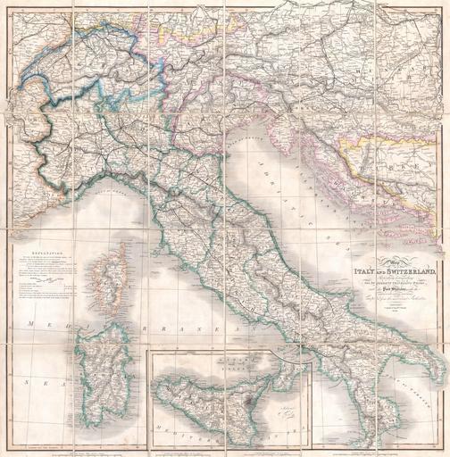
| Keywords: 1859 Smith Folding Case Map of Italy and Switzerland - Geographicus - Italy-smith-1859.jpg A rare and beautiful case format map of Italy and Switzerland from 1859 Produced by London cartographer Charles Smith Covers from Geneva in the west as far east as Turkey and Dalmatia north to Vienna and south to include Sicily Also includes Sardinia and Corsica This map was originally issued by Smith in 1818 as a New Post Map of Italy and Switzerland Smith intended the map for 19th century English travelers to Italy and so gives particular attention to distances roads and the quality of those roads Offers basic but attractive topographic details Sicily is depicted as an inset map at the bottom center Dissected and mounted on linen in 24 sheets Folds into its original cardboard binder 1859 Size in 33 5 33 object history credit line accession number Italy-smith-1859 Geographicus-source PD-art Old maps of Italy 1859 Old maps of Sicily 1859 Old maps of Sardinia 1859 Old maps of Switzerland 1859 | ||||