MAKE A MEME
View Large Image
| View Original: | 1876_Port_Kenyon_Map.jpg (1000x772) | |||
| Download: | Original | Medium | Small | Thumb |
| Courtesy of: | commons.wikimedia.org | More Like This | ||
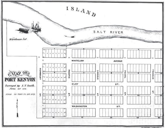
| Keywords: 1876 Port Kenyon Map.jpg en A plat-map of the proposed town of Port Kenyon California of which only a small portion was ever built The Salt River flows from right east to left west in this image The map was entered as a map to lay out streets with the Humboldt County Recorder of Deeds office on May 23 1876 Humboldt County Recorder of Deeds Office A T Smith 1876-04-23 PD-old-70-1923 Salt River California Port Kenyon California Maps of Humboldt County California | ||||