MAKE A MEME
View Large Image
| View Original: | 1917_map_Rhode_Island_CapeCod_byHammond_BPL_10795.png (1150x699) | |||
| Download: | Original | Medium | Small | Thumb |
| Courtesy of: | commons.wikimedia.org | More Like This | ||
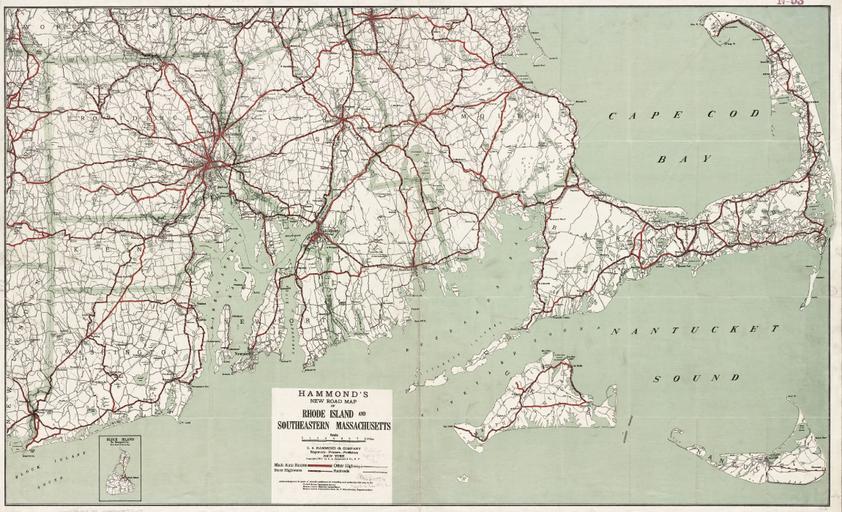
| Keywords: 1917 map Rhode Island CapeCod byHammond BPL 10795.png Hammond's new road map of Rhode Island and southeastern Massachusetts Publisher C S Hammond Company Date 1917 Location Massachusetts Rhode Island Dimension 64 0 x 105 0 cm Scale ca 1 158 400 Boston Public Library Norman B Leventhal Map Center http //maps bpl org/id/10795 1917 C S Hammond Company PD-Old Rhode Island in the 1910s Old maps of Rhode Island Maps of Cape Cod Massachusetts in the 1910s Old maps of Massachusetts | ||||