MAKE A MEME
View Large Image

| View Original: | Aerial view 5 after the 1989 Huntsville Tornado.jpg (820x536) | |||
| Download: | Original | Medium | Small | Thumb |
| Courtesy of: | commons.wikimedia.org | More Like This | ||
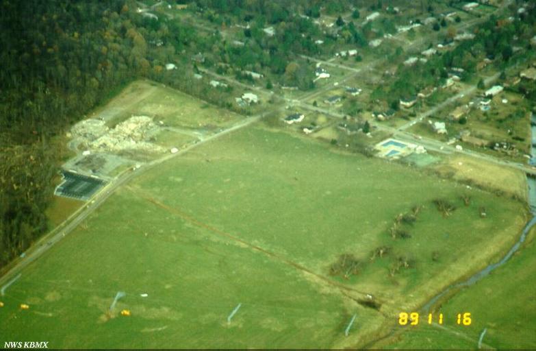
| Keywords: Aerial view 5 after the 1989 Huntsville Tornado.jpg en Damage from the November 15 1989 tornado to strike Huntsville Alabama This aerial photograph shows the demolished Jones Valley Elementary School top left looking northwest A section of Jones Farm is enclosed on the west by downed high voltage lines which crossed the hill alongside Carl T Jones Dr Garth Rd on the north Toney Dr on the east and Aldridge Creek on the south Photographed by NWS Birmingham during their storm survey 1989-11-16 http //www srh noaa gov/images/bmx/significant_events/1989/11_15/graphics/ C S;O D National Weather Service Birmingham Alabama office other versions PD-USGov 1989 Huntsville Tornado Aerial photographs of Alabama | ||||