MAKE A MEME
View Large Image

| View Original: | AMH-8623-NA_Upper_part_of_a_chart_showing_the_area_around_New_York.jpg (2400x1946) | |||
| Download: | Original | Medium | Small | Thumb |
| Courtesy of: | commons.wikimedia.org | More Like This | ||
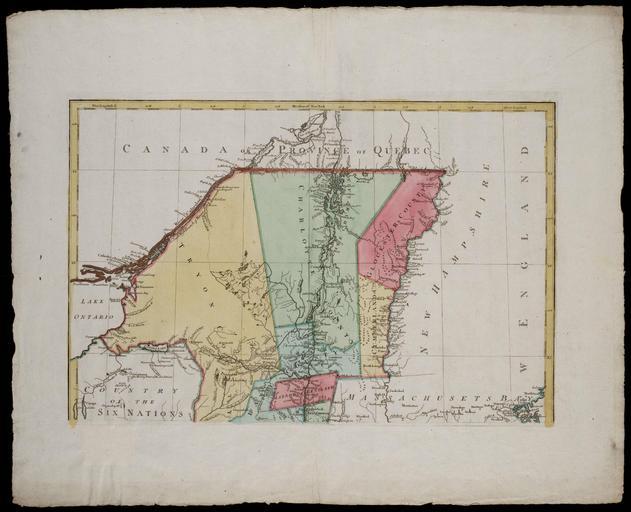
| Keywords: AMH-8623-NA Upper part of a chart showing the area around New York.jpg Artwork nl Bovenste deel van een kaart van de omgeving van New York nl Bovenste deel van een kaart van de omgeving van New York Titel Catalogus Leupe NA A Map of the Provinces of New-York and New-Jersey with a part of Penn-Sylvania and the Province of Quebec from the Topographical observations of C J Sauthier Het onderste gedeelte van deze kaart Nationaal Archief Den Haag inv nr VEL1394B en Upper part of a chart showing the area around New York Title in the Leupe Catalogue NA A Map of the Provinces of New-York and New-Jersey with a part of Penn-Sylvania and the Province of Quebec from the Topographical observations of C J Sauthier The bottom part of this chart National Archives The Hague inv nr VEL1394B Atlas of Mutual Heritage na http //www atlasofmutualheritage nl/en/object/ id 8623 Source at the Atlas of Mutual Heritage - http //www gahetna nl/collectie/archief/inventaris/index/eadid/4 VEL/inventarisnr/1394A/level/file Source at the Nationaal Archief en Subjects chart / map / plan nl Onderwerpen plattegrond / kaart 1777 Creator C J Sauthier Creator Matthew Albert Lotter Creator Matthew Albert Lotter nl C J Sauthier landmeter / kaartenmaker Matthew Albert Lotter uitgever Matthew Albert Lotter graveur / etser en C J Sauthier land surveyor / mapmaker Matthew Albert Lotter publisher Matthew Albert Lotter engraver / etcher Institution Nationaal Archief nl ingekleurde gravure op papier en coloured engraving on paper Size cm 71 9 58 1 accession number NL-HaNA_4 VEL_1394A old number VEL1394A PD-Art-100 Maps of the West-Indische Compagnie 1777 | ||||