MAKE A MEME
View Large Image
| View Original: | AsiaMeanTemp.png (600x600) | |||
| Download: | Original | Medium | Small | Thumb |
| Courtesy of: | commons.wikimedia.org | More Like This | ||
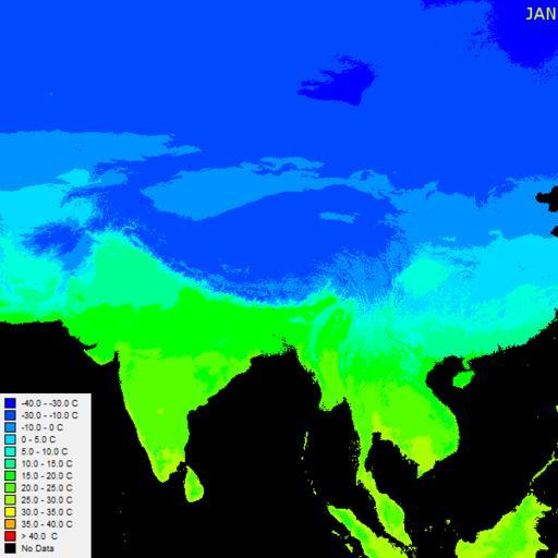
| Keywords: AsiaMeanTemp.png Monthly mean temperatures in Asia - generated using DIVA-GIS using layers derived from WorldClim which in turn are derived from a range of data sources own 2011 L Shyamal Weather maps of India Animated PNG Maps of the Indian Subcontinent Animations of India | ||||