MAKE A MEME
View Large Image
| View Original: | Bezirk_Bialystok.jpg (3101x2960) | |||
| Download: | Original | Medium | Small | Thumb |
| Courtesy of: | commons.wikimedia.org | More Like This | ||
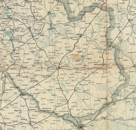
| Keywords: Bezirk Bialystok.jpg en A part of a map of Germany printed in July 1944 by a German unit leichte Karten-Druckerei-Abtl mot 530 fr Une section d'une carte de l'Allemagne imprimée en juillet 1944 par une unité allemande leichte Karten-Druckerei-Abtl mot 530 Bezirk Bialystok - mapa Okręgu białostockiego Ausschnitt aus der Gea-Verkehrskarte/Ubersichtskarte 1 1 000 000/Ostblatt author 1944-07 PD-scan Maps of Poland during World War II Maps in German Maps of Podlaskie Voivodeship Historical maps of Białystok Maps of Bezirk Bialystok | ||||