MAKE A MEME
View Large Image

| View Original: | BihorSolnocCrasnaCountyJosephinischeLandesaufnahme.jpg (800x762) | |||
| Download: | Original | Medium | Small | Thumb |
| Courtesy of: | commons.wikimedia.org | More Like This | ||
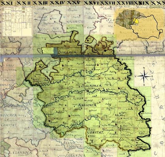
| Keywords: BihorSolnocCrasnaCountyJosephinischeLandesaufnahme.jpg Harta iozefină a Comitatului Bihor-Solnoc-Crasna folosită ca background la formatul de lansare a planşelor 1782-1785 File KingdomOfHungary Josephinische Landesaufnahme Original Map 1782-1785 jpg Historische Militärkarte der österreichisch-ungarischen Monarchie 1769-72 PD-old-100 Clickable map of the Bihor Solnoc Crasna County BihorSolnocCrasnaCountyJosephinischeLandesaufnahme1782-85 Josephinische Landaufnahme Maps of the history of Transylvania Old maps of Hungary Bihar County Old maps of Romania | ||||