MAKE A MEME
View Large Image

| View Original: | Biurman_södra_Stockholm_1751.jpg (2098x1500) | |||
| Download: | Original | Medium | Small | Thumb |
| Courtesy of: | commons.wikimedia.org | More Like This | ||
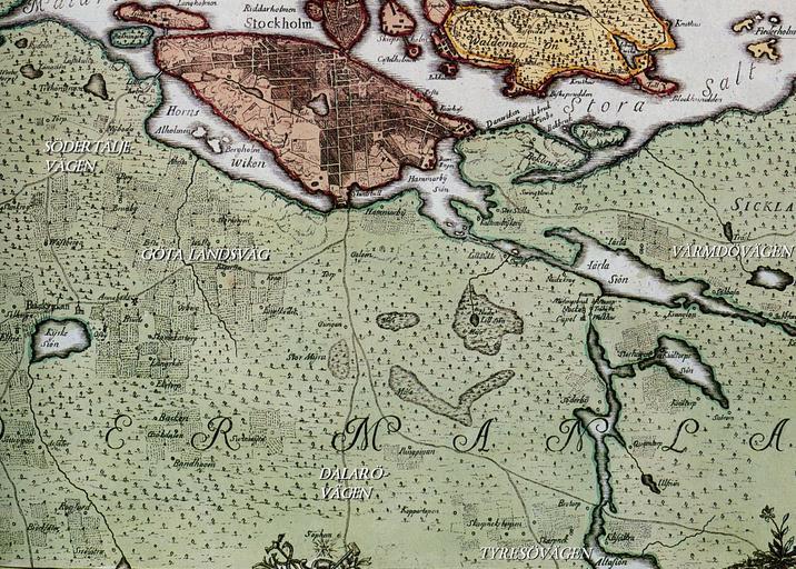
| Keywords: Biurman södra Stockholm 1751.jpg en Historical map showing Stockholm in the 18th century The map is produced by Georg Biurman about 1750-51 This image shows a part of south Stockholm with Södertäljevägen Göta landsväg Tyresövägen Värmdövägen and Dalarövägen 1751 Stockholms stadsarkiv Georg Biurman Custom license marker 2012 04 20 PD-old-100 Uploaded with UploadWizard Old maps of Stockholm by Georg Biurman | ||||