MAKE A MEME
View Large Image

| View Original: | Blankmap-ao-180W-oceania.png (726x726) | |||
| Download: | Original | Medium | Small | Thumb |
| Courtesy of: | commons.wikimedia.org | More Like This | ||
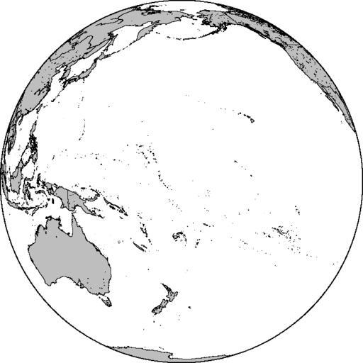
| Keywords: Blankmap-ao-180W-oceania.png locator map Azimuthal orthographic map projection of coords 0°/180°W See Image Blankmap-ao-180W-oceania xcf for an XCF file with separate layers for water land coastlines political borders political borders over water not shown and latitude longitude gridlines not shown Created by User Reisio with GMT Locator maps of Oceania grey globe scheme Blank maps of the world with orthographic projection | ||||