MAKE A MEME
View Large Image
| View Original: | Cape_Dezhnev_USCGS_1937.PNG (816x357) | |||
| Download: | Original | Medium | Small | Thumb |
| Courtesy of: | commons.wikimedia.org | More Like This | ||
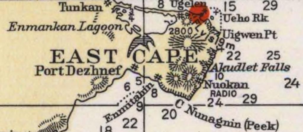
| Keywords: Cape Dezhnev USCGS 1937.PNG en Detail of 1937 USCGS Bering Sea ahowing Cape Dezhnev aka East Cape with geographical features and villages marked Historical Maps and Charts Project Office of Coast Survey US NOAA Bering Sea Chart 9302 6_1937 http //historicalcharts noaa gov/historicals/historical_zoom asp USCGS 1937 PD-USGov Cape Dezhnev Bering Sea Chukchi Sea Maps of Chukotka Old maps of USSR Headlands of Russia Yupik Chukchi people | ||||