MAKE A MEME
View Large Image

| View Original: | Carte Palatinat.png (1800x1200) | |||
| Download: | Original | Medium | Small | Thumb |
| Courtesy of: | commons.wikimedia.org | More Like This | ||
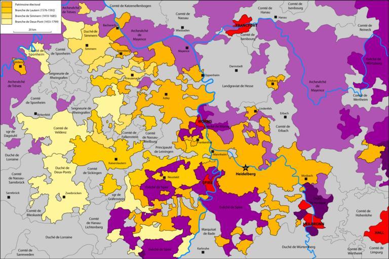
| Keywords: Carte Palatinat.png fr Possessions de la branche palatine de la maison de Wittelsbach en jaune own Katepanomegas Palatinate County of Sponheim Maps of the Holy Roman Empire Maps of territories in the Electoral Rhenish Circle | ||||