MAKE A MEME
View Large Image
| View Original: | Collin,_Plan_routier_de_la_ville_de_Paris_et_des_ses_faubourgs,_1823.jpg (13017x8747) | |||
| Download: | Original | Medium | Small | Thumb |
| Courtesy of: | commons.wikimedia.org | More Like This | ||
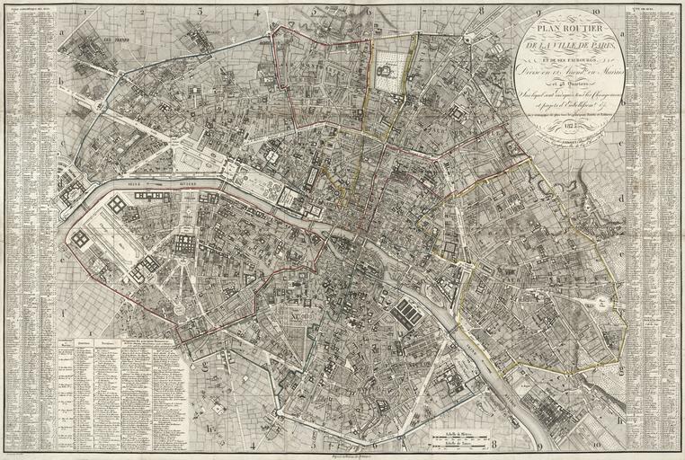
| Keywords: Collin, Plan routier de la ville de Paris et des ses faubourgs, 1823.jpg LargeImage Map of Paris in 1823 Scale approximately 1 12 500 Published Ă Paris Chez Ledoyen 1823 1 map hand colored 54 x 82 cm folded in cover 16 x 10 cm Institution LOC object history exhibition history credit line LOC-map g5834p ct003571 accession number PD-100 Maps of Paris in the 19th century 1823 19th-century maps of Paris 1823 Plan Collin 1823 Images of Paris from the Library of Congress | ||||