MAKE A MEME
View Large Image

| View Original: | Cook, James — Map of the Province of South Carolina 1773.jpg (9968x9824) | |||
| Download: | Original | Medium | Small | Thumb |
| Courtesy of: | commons.wikimedia.org | More Like This | ||
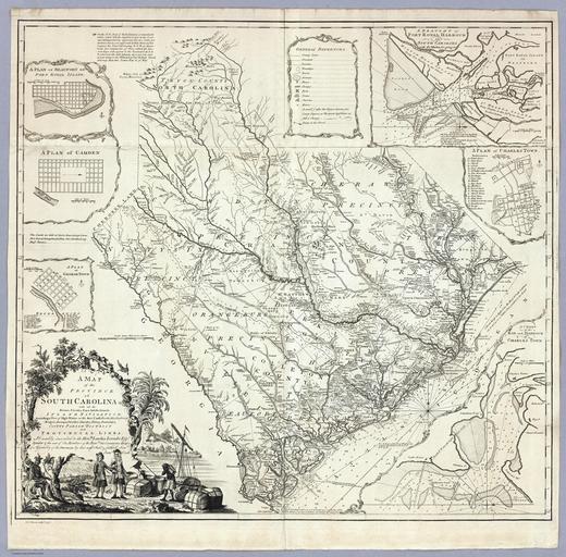
| Keywords: Cook, James — Map of the Province of South Carolina 1773.jpg A Map of the Province of South Carolina with all the Rivers Creeks Bays Inletts Islands Inland Navigation Soundings Time of High Water on the Sea Coast Roads Marshes Ferrys Bridges Swamps Parishes Churches Towns Townships; Country Parish District and Provincial Lines Humbly inscribed to the Hon ble Lawlins Lownds Esqr Speaker the rest of the Members of the Hon ble the Commons House of Assembly of the Province by their most Obedt faithfull Servt Jams Cook Thos Bowen sculpt 1773 with 6 inset maps http //www davidrumsey com/luna/servlet/detail/RUMSEY~8~1~1221~90171 A-Map-of-the-Province-of-South-Caro Object Height cm 76 Object Width cm 81 Scale 586 080 1773 James Cook PD-old-100-1923 http //www davidrumsey com/blog/2010/2/25/cartouches-decorative-map-titles James Cook maps relating to Province of South Carolina Old maps of South Carolina Maps with cartouches Maps with cartouches extracted 1773 maps Cook Province of South Carolina User Mattes/Contributions/Topics/Cartography Uploads by Mattes from external sources David Rumsey Historical Map Collection ImageNote 1 344 5888 3968 3264 9968 9824 2 299px ImageNoteEnd 1 | ||||