MAKE A MEME
View Large Image

| View Original: | De-naald-1687.jpg (543x454) | |||
| Download: | Original | Medium | Small | Thumb |
| Courtesy of: | commons.wikimedia.org | More Like This | ||
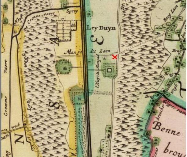
| Keywords: De-naald-1687.jpg Red X marks the current site of the monument De Naald on early map of Heemstede from 1687 The 'Huis te Manpad' building is shown clearly and the 'Manpad' footpath runs west to east from Vogelensang across the Leidsevaart past the Herenweg into what is currently Groenendaal park This footpath in the Groenendaal park still exists today 2007-02-25 Jane023 added red X to detail image of 18th century Waterschapskaart Kaarten Provinciale Atlas http //www noordhollandsarchief org North Holland Archive PD-old Huis te Manpad Maps of Heemstede Old maps of North Holland Trekvaart Haarlem-Leiden | ||||