MAKE A MEME
View Large Image

| View Original: | Dease_and_Simpson_-_Arctic_expedition_1837.png (2395x1414) | |||
| Download: | Original | Medium | Small | Thumb |
| Courtesy of: | commons.wikimedia.org | More Like This | ||
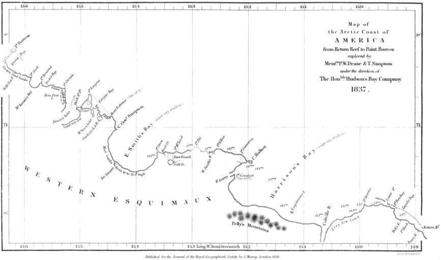
| Keywords: Dease and Simpson - Arctic expedition 1837.png en Map of the northern coast of Alaska from Point Burrow on the western edge to Return Reef just east of the Colville River on the eastern Mapped by Peter W Dease and Thomas Simpson in 1837 during their Arctic expedition Peter W Dease and Thomas Simpson An Account of the Recent Arctic Discoveries by Messrs Dease and T Simpson Journal of the Royal Geographical Society of London 8 213-225 1838 John Arrowsmith 1780 “1873 1838 PD-old Old maps of Alaska John Arrowsmith 1838 maps Coasts of Alaska Old nautical charts | ||||