MAKE A MEME
View Large Image

| View Original: | EDLA map.PNG (331x303) | |||
| Download: | Original | Medium | Small | Thumb |
| Courtesy of: | commons.wikimedia.org | More Like This | ||
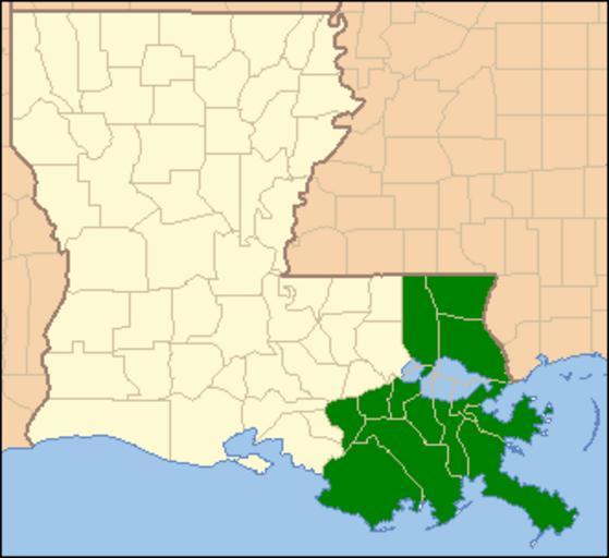
| Keywords: EDLA map.PNG Locator Map of Louisiana United States hilighting the United States District Court for the Eastern District of Louisiana in green Louisiana_Locator_Map PNG 2009-03-25 18 12 UTC Louisiana_Locator_Map PNG US Census Ruhrfisch derivative work Quadell talk original upload log This image is a derivative work of the following images File Louisiana_Locator_Map PNG licensed with Cc-by-sa-2 5 GFDL PD-USGov-DOC-Census 2007-04-25T04 01 06Z Ruhrfisch 331x303 12342 Bytes <nowiki> Summary Locator Map of Louisiana United States taken from US Census website http //factfinder census gov/ and modified by User Ruhrfisch April 2007 US Census</nowiki> 2007-04-02T03 32 56Z Ruhrfisch 331x303 12266 Bytes <nowiki> Locator Map of Louisiana United States taken from US Census website http //factfinder census gov/ and modified by User Ruhrfisch April 2007 US Census Ruhrfisch P</nowiki> 2007-04-01T18 44 29Z Ruhrfisch 320x303 11669 Bytes <nowiki> Locator Map of Louisiana United States taken from US Census website http //factfinder census gov/ and modified by User Ruhrfisch April 2007 US Census Ruhrfisch P</nowiki> Maps of Louisiana Maps of federal judicial districts in the United States | ||||