MAKE A MEME
View Large Image

| View Original: | Fort_King_George_Switzermap.jpg (795x1196) | |||
| Download: | Original | Medium | Small | Thumb |
| Courtesy of: | commons.wikimedia.org | More Like This | ||
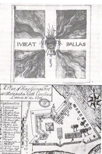
| Keywords: Fort King George Switzermap.jpg A Plan of Fort King George's Fort at Allatamaha South Carolina Latitude 31 degrees 12 North 1722 This file is public domain since it was created in 1722 Georgia Department of Archives and History 1722 author Public Domain PD-old-100 18th-century fortifications Colonial American Fortifications | ||||