MAKE A MEME
View Large Image

| View Original: | Genordete_Map_of_Charlottenburg_around_Charlottenburg.jpg (1944x2592) | |||
| Download: | Original | Medium | Small | Thumb |
| Courtesy of: | commons.wikimedia.org | More Like This | ||
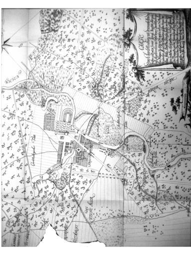
| Keywords: Genordete Map of Charlottenburg around Charlottenburg.jpg en Map of the city Charlottenburg of Conrath Henning 1719 de Die in Commons liegende Karte von Charlottenburg um 1740 wurde durch Vierteldrehung als genordet variiert Wilhelm Gundlach Geschichte der Stadt Charlottenburg Springer Verlag 1905 Map Conrath Henning 1719 PD-old-100 File Map of Charlottenburg around Charlottenburg jpg Maps of Berlin-Charlottenburg Old Maps of Berlin-Charlottenburg GFDL cc-by-sa-3 0 2 5 2 0 1 0 | ||||