MAKE A MEME
View Large Image

| View Original: | Granville, Indiana Marker.png (800x900) | |||
| Download: | Original | Medium | Small | Thumb |
| Courtesy of: | commons.wikimedia.org | More Like This | ||
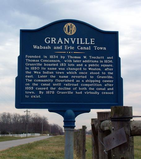
| Keywords: Granville, Indiana Marker.png 40 24 21 5 N 87 2 9 6 W region US-IN_heading E The Tippecanoe County Historical Association marker near the extinct town of Granville Indiana southwest of the city of West Lafayette Indiana West Lafayette along the Wabash River Photo looks east along County Road 75 South The marker reads <blockquote> <p>Granville<br /> Wabash and Erie Canal Town</p> <p>Founded in 1834 by Thomas W Treckett and Thomas Concannon with later additions in 1836 Granville boasted 153 lots and a public square In 1850 its name was changed to Weaton after the Wea Indian town which once stood to the east Later the name reverted to Granville The community flourished as a shipping center on the canal until railroad competition after 1855 caused the decline of both the canal and town By 1878 Granville had virtually ceased to exist </p> </blockquote> own Own photo 2006-11-05 Huw Williams Huwmanbeing I release this photo into the public domain c Files by User Huwmanbeing 2006 in Indiana Autumn in Indiana Historical markers in Indiana Tippecanoe County Indiana | ||||