MAKE A MEME
View Large Image

| View Original: | Hidatsa_tribe.jpg (491x283) | |||
| Download: | Original | Medium | Small | Thumb |
| Courtesy of: | commons.wikimedia.org | More Like This | ||
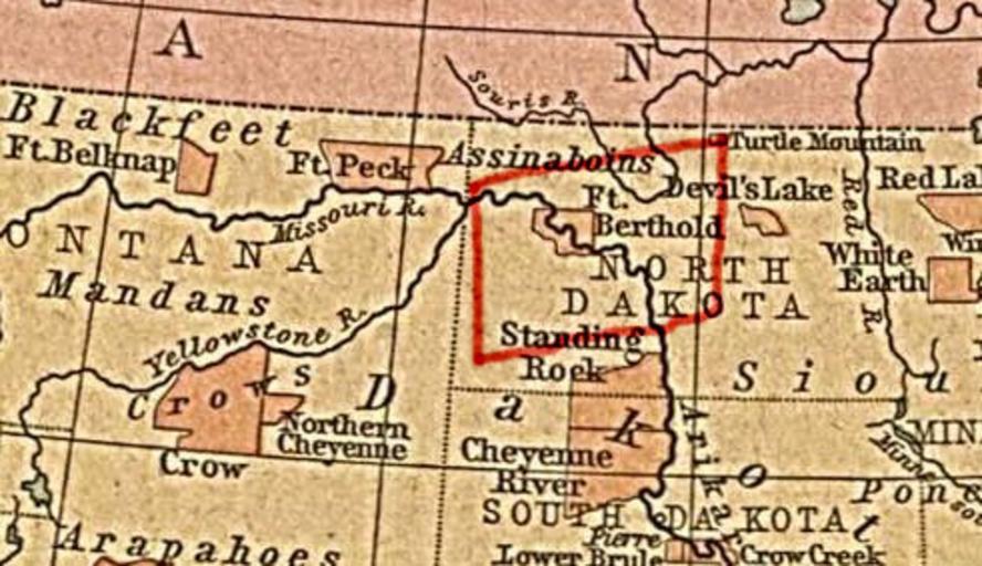
| Keywords: Hidatsa tribe.jpg Map showing approximately the area occupied by the Hidatsa tribe before 1845 Made using an original map in The historical Atlas of William R Shepherd New York Henry Holt and Company 1923 Downloaded from Perry-Castañeda Library Map Collection University of Texas at Austin PD-old Maps showing history by William R Shepherd Hidatsa Maps of Native American tribal territories | ||||