MAKE A MEME
View Large Image
| View Original: | Hobart aerial survey 1954 map05 sullivans cove.png (487x382) | |||
| Download: | Original | Medium | Small | Thumb |
| Courtesy of: | commons.wikimedia.org | More Like This | ||
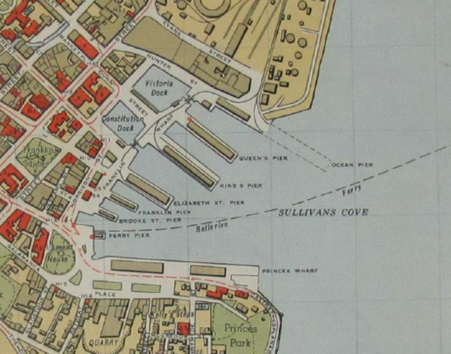
| Keywords: Hobart aerial survey 1954 map05 sullivans cove.png en Map 5 of w Hobart aerial survey map - cropped to Sullivans Cove area 1954 University of Tasmania - http //eprints utas edu au/17486/ Department of Lands and Surveys Governent of Tasmania other versions cc-zero Uploaded with UploadWizard Historical maps of Tasmania LicenseReview http //eprints utas edu au/17486/ utas edu Bobamnertiopsis 2015-02-26 | ||||