MAKE A MEME
View Large Image
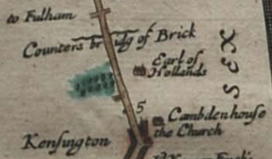
| View Original: | Holland_House_in_an_Ogilby_map_1675.jpg (356x208) | |||
| Download: | Original | Medium | Small | Thumb |
| Courtesy of: | commons.wikimedia.org | More Like This | ||
| Keywords: Holland House in an Ogilby map 1675.jpg Holland House shown oriented with west upwards on John Ogilby's 1675 map of the route from London to Bristol as Earl of Hollands Also visible are a bridge over Counter's Creek and St Mary Abbots church 1675 Britannia Atlas John Ogilby File John Ogilby - The Road from London to the City of Bristol jpg Custom license marker 2013 01 07 PD-old-100 Uploaded with UploadWizard Holland House Maps made in the 17th century Maps by John Ogilby 1675 in London Old maps of London Maps of the Royal Borough of Kensington and Chelsea | ||||