MAKE A MEME
View Large Image

| View Original: | Hungary_with_Turky_in_Europe.jpg (2676x2196) | |||
| Download: | Original | Medium | Small | Thumb |
| Courtesy of: | commons.wikimedia.org | More Like This | ||
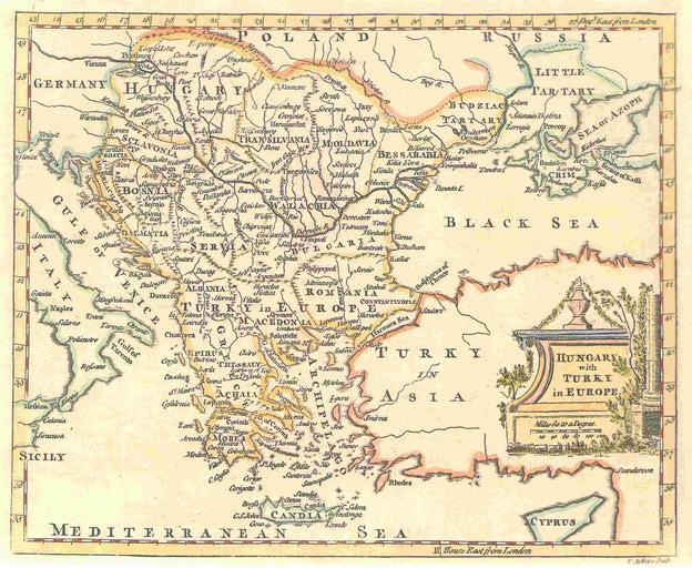
| Keywords: Hungary with Turky in Europe.jpg A map by T Jefferys 1785 <br><br> The map shows Hungary and the bordering Balkan regions controlled by the Ottoman Empire <br><br> The owner of the map agrees to the image being displayed in Wikipedia All other ways of using this image should be disussed with User KIDB PD-old badJPEG Old maps of the Balkans Old maps of Hungary Old maps of Romania Old maps of Moldova Old maps of Bulgaria Old maps of Macedonia Old maps of Serbia Old maps of Vojvodina Old maps of Kosovo Old maps of Montenegro Old maps of Bosnia and Herzegovina Old maps of the Republika Srpska Old maps of Croatia Old maps of Albania Old maps of Greece Old maps of Turkey Category Facsimile maps Ottoman | ||||