MAKE A MEME
View Large Image
| View Original: | IndiaMapBowen.jpg (6000x4968) | |||
| Download: | Original | Medium | Small | Thumb |
| Courtesy of: | commons.wikimedia.org | More Like This | ||
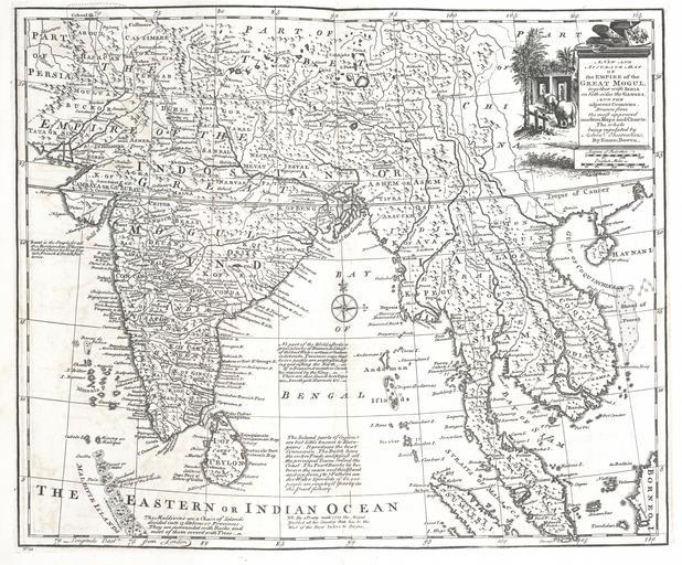
| Keywords: IndiaMapBowen.jpg A new and accurate mapof the Empire of the Great Mogul together with India on both sides the Ganges and the adjacent countries Drawn fromt he most approved modern maps and charts The whole being regulated by Astron's observations http //beinecke library yale edu/dl_crosscollex/brbldl_getrec asp fld img id 1012285 A complete atlas or distinct view of the known world; exhibited in sixty-eight maps in which the latitude and longitude of the principal places in different countries are laid down according to the latest discoveries 1752 Bowen Emanuel d 1767 PD-old-100 Old maps of the Indian Subcontinent 1752 maps of India | ||||