MAKE A MEME
View Large Image

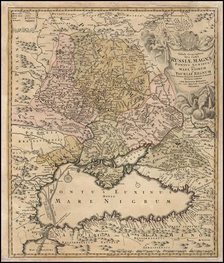
| View Original: | Johann_Baptist_Homann._Tabula_Geographica_qua_pars_Russiae_Magnae_Pontus_Euxinus_seu_mare_Nigrum._Nuremberg_1720.jpg (1000x1172) | |||
| Download: | Original | Medium | Small | Thumb |
| Courtesy of: | commons.wikimedia.org | More Like This | ||
| Keywords: Johann Baptist Homann. Tabula Geographica qua pars Russiae Magnae Pontus Euxinus seu mare Nigrum. Nuremberg 1720.jpg Artwork Creator Johann Baptist Homann 1720 cm 22 19 Made in Nuremberg accession number object history credit line http //www landsofukraina com/ p 223 www landsofukraina com PD-Art-100 Old maps of the Black Sea Johann Baptist Homann 1720 maps Maps in Latin Old maps of Ukraine 18th-century maps of Georgia | ||||