MAKE A MEME
View Large Image

| View Original: | Karte_Oberamt_Weinsberg.jpg (2216x1992) | |||
| Download: | Original | Medium | Small | Thumb |
| Courtesy of: | commons.wikimedia.org | More Like This | ||
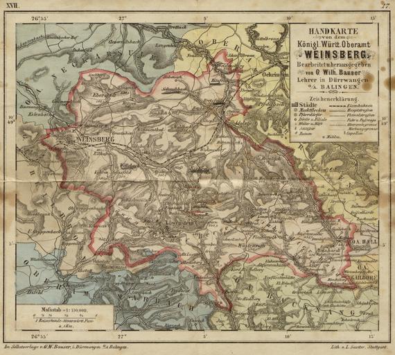
| Keywords: Karte Oberamt Weinsberg.jpg Karte des Oberamts Weinsberg ca 1880 Höhenangaben in Metern Map of the Oberamt Weinsberg Weinsberg district c 1880 Heights are given in metres Georg Wilhelm Bauser Hand-Atlas von dem Königreiche Württemberg Stuttgart 1882 ca 1880 Georg Wilhelm Bauser Scanned by Rosenzweig PD-Art Weinsberg 19th-century maps of Baden-Württemberg 1880s maps | ||||