MAKE A MEME
View Large Image
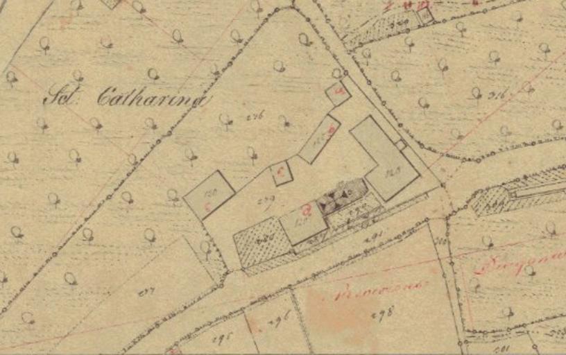
| View Original: | Karte_St-Katharina_Schwäbisch_Gmünd_1830.png (540x339) | |||
| Download: | Original | Medium | Small | Thumb |
| Courtesy of: | commons.wikimedia.org | More Like This | ||
| Keywords: Karte St-Katharina Schwäbisch Gmünd 1830.png de Gebäudesituation um das ehemalige Siechenspital St Katharina Schwäbisch Gmünd ca 1830 Kartenausschnitt Vermessungsergebnis der württembergischen Landesvermessung Originalmaßstab 1 2 500 Bildschirmfoto von http //www ostalbmap de/sixcms/detail php id 97081 www ostalbmap de Unbekannt / im Rahmen der württembergischen Landesvermessung ~ 1830 PD-Art ImageNote 1 321 186 8 8 540 339 2 Katharinenkapelle ImageNoteEnd 1 ImageNote 2 370 158 8 8 540 339 2 Spitalpfründhaus ImageNoteEnd 2 ImageNote 3 320 85 8 8 540 339 2 Armenhaus ImageNoteEnd 3 ImageNote 4 286 209 8 8 540 339 2 Hofmeistereigebäude ImageNoteEnd 4 Maps of Schwäbisch Gmünd St Katharina Schwäbisch Gmünd Old maps of Germany History of Schwäbisch Gmünd | ||||