MAKE A MEME
View Large Image

| View Original: | Kölner-Schweidkarte-Bischofsweg-17-Jh.jpg (1616x712) | |||
| Download: | Original | Medium | Small | Thumb |
| Courtesy of: | commons.wikimedia.org | More Like This | ||
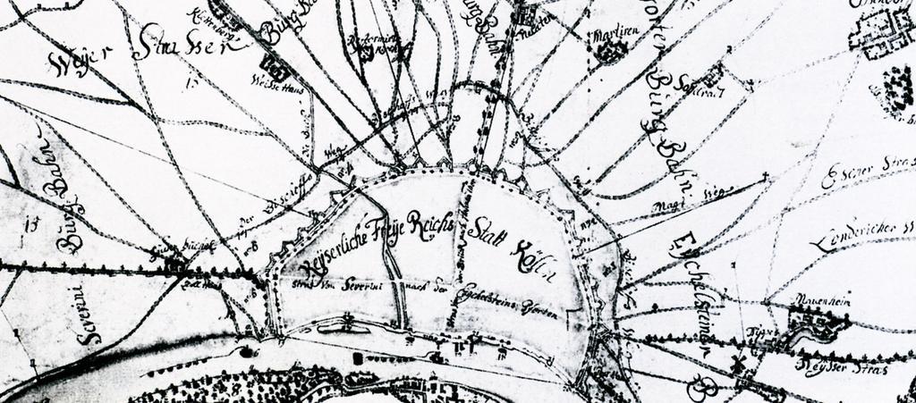
| Keywords: Kölner-Schweidkarte-Bischofsweg-17-Jh.jpg Köln im Mittelalter nach dem Plan ĂĽber den Kölner Schweid Scan aus der Veröffentlichung “Lindenthal die Entstehung eines Kölner Vorortes “ Bildnachweis Seite 31 Gröbe Volker ISBN 3-7616-1603-1 century 17 Author Veröffentlichung mit Erlaubnis des Buchautors Volker Gröbe vom Do 08 02 2007 09 43 liegt mir vor - Horsch Willy HOWI PD-Art Parts of old maps of Cologne | ||||