MAKE A MEME
View Large Image
| View Original: | LDDyfedCantrefi.png (1344x959) | |||
| Download: | Original | Medium | Small | Thumb |
| Courtesy of: | commons.wikimedia.org | More Like This | ||
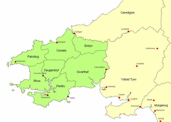
| Keywords: LDDyfedCantrefi.png Map of ancient Dyfed showing its position in southwest Wales various important medieval towns and its 7 cantrefs en wikipedia 2007-10-01 LinguisticDemographer wikipedia en LinguisticDemographer original upload log page en wikipedia LDDyfedCantrefi png 2007-10-01 20 53 LinguisticDemographer 1344×959×8 62009 bytes <nowiki>Map of ancient Dyfed showing its position in southwest Wales various important medieval towns and its 7 cantrefs </nowiki> Maps of former subdivisions of Wales Maps of the history of Wales Maps of Pembrokeshire | ||||