MAKE A MEME
View Large Image
| View Original: | Lh000935.gif (244x150) | |||
| Download: | Original | Medium | Small | Thumb |
| Courtesy of: | commons.wikimedia.org | More Like This | ||
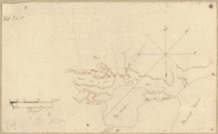
| Keywords: Lh000935.gif en Map of an area of Spanish West Florida bounded on the east by Lake Pontchartrain and the west by the Comite River between Livingston Parish and Tangipahoa Parish Louisiana 1805 Library of Congress https //www loc gov/item/2013585029/ Vicente Sebastian Pintado other versions PD-old-70-1923 Uploaded with UploadWizard Vicente Sebastian Pintado Old maps of Louisiana 1805 in Louisiana Maps of West Florida | ||||