MAKE A MEME
View Large Image

| View Original: | Livoniæ_et_Curlandiæ_Tabula.jpg (3224x2728) | |||
| Download: | Original | Medium | Small | Thumb |
| Courtesy of: | commons.wikimedia.org | More Like This | ||
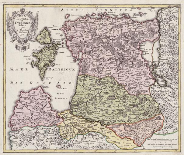
| Keywords: Livoniæ et Curlandiæ Tabula.jpg Livoniæ et Curlandiæ Tabula<br> Published in Nürnberg in several atlases Atlas scholasticus et itinerarius Bequemer Schul- und Reisen-Atlas 1724 Atlas manualis scholasticus 1712 ; Orbis antiquus 1720 Copper engraving ca 1 1 400 000 38 x 32 cm http //www nlib ee/html/digi/maps/kaart00284 jpg original in the National Library Cartography Collection Christoph Weigel 1654-1726 circa 1698 1726 PD-old Maps of Livonia Old maps of Latvia 18th-century maps of Estonia | ||||