MAKE A MEME
View Large Image
| View Original: | Machliniec_from_1877_Bolechow_map.jpg (404x394) | |||
| Download: | Original | Medium | Small | Thumb |
| Courtesy of: | commons.wikimedia.org | More Like This | ||
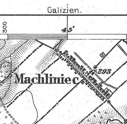
| Keywords: Machliniec from 1877 Bolechow map.jpg Machliniec from 1877 Bolechow map Location 16 8 km due east of Stryj Ukraine Latitude 49 degrees 14 minutes 35 seconds North Longitude The longitude grid on the upper edge of the map shows 41 degrees 45 minutes 10 seconds East of Ferro Longitude It requires the subtraction of 17 4 degrees to become 24 degrees 21 minutes 18 seconds East of Greenwich PD-Art Old maps of the Kingdom of Galicia Zhydachiv Raion Artworks missing infobox template | ||||