MAKE A MEME
View Large Image
| View Original: | Map of Archuleta County, Colorado.png (3536x1972) | |||
| Download: | Original | Medium | Small | Thumb |
| Courtesy of: | commons.wikimedia.org | More Like This | ||
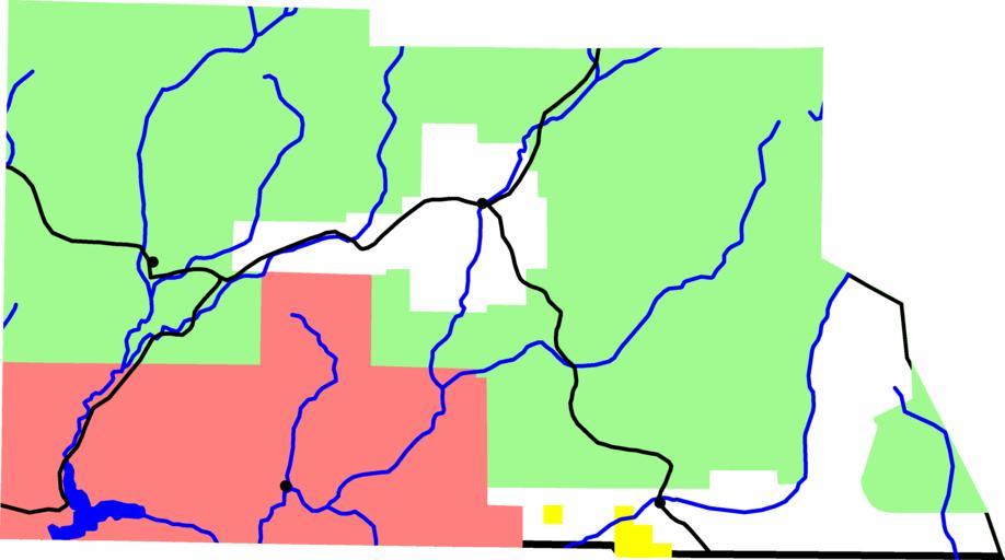
| Keywords: Map of Archuleta County, Colorado.png A map of Archuleta County Colorado Black lines are roads Dots are towns The light green area is national forest pink is indian reservation and yellow is BLM land David Benbennick made this map with data from http //nationalatlas gov nationalatlas gov Eventually I'll upload the Metapost script I used In the mean time see http //www cam cornell edu/~dbenbenn/nationalatlas/Colorado_county_maps/map mp map mp Archuleta County Colorado Maps of counties of Colorado metapost | ||||