MAKE A MEME
View Large Image
| View Original: | Map_coordinate_system.gif (150x150) | |||
| Download: | Original | Medium | Small | Thumb |
| Courtesy of: | commons.wikimedia.org | More Like This | ||
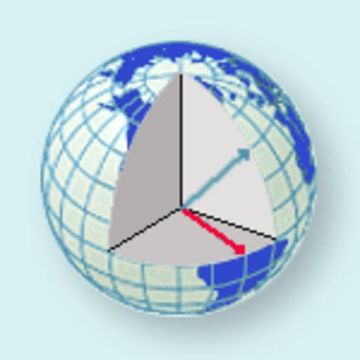
| Keywords: Map coordinate system.gif Cutaway showing the dimensions measured by a map coordinate system http //www nationalatlas gov/articles/mapping/IMAGES/latlong5 gif 2010-05-03 National Atlas of the United States Coordinate systems PD-USGov | ||||