MAKE A MEME
View Large Image

| View Original: | Map_of_Europe_showing_Poland_and_Lithuania_(1561-1629).jpg (1306x1012) | |||
| Download: | Original | Medium | Small | Thumb |
| Courtesy of: | commons.wikimedia.org | More Like This | ||
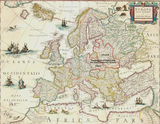
| Keywords: Map of Europe showing Poland and Lithuania (1561-1629).jpg A map of Europe c 1630 showing the Kingdom of Poland and the Grand Duchy of Lithuania at its greatest extent 1561-1629 http //www martayanlan com/cgi-bin/image cgi 1961 zm 1 jpg ca 1630 Guilielmo Blaeuw as modified by User Archaeogenetics PD-old Archaeogenetics Old maps showing history | ||||