MAKE A MEME
View Large Image
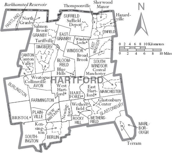
| View Original: | Map of Hartford County Connecticut With Municipal Labels.PNG (598x534) | |||
| Download: | Original | Medium | Small | Thumb |
| Courtesy of: | commons.wikimedia.org | More Like This | ||
| Keywords: Map of Hartford County Connecticut With Municipal Labels.PNG Map of Hartford County Connecticut United States with township and municipal boundaries <br> No copyrighted material was used some government material was used http //www2 census gov/geo/maps/general_ref/cousub_outline/cen2k_pgsz/ct_cosub pdf here Taken from the US Census website click http //www2 census gov/geo/maps/general_ref/cousub_outline/cen2k_pgsz/ct_cosub pdf here to view the exact location on their site and modified by User Kotosb 2008-10-14 United States Census Bureau employee PD-USGov-DOC-Census Kotosb Original upload log en wikipedia Map+of+Hartford+County+Connecticut+With+Municipal+Labels PNG wikitable - 2008-12-14 19 29 598×534× 71796 bytes Kotosb Summary Map of Hartford County Connecticut United States with township and municipal boundaries Taken from the US Census website click http //www2 census gov/geo/maps/general_re Maps of Hartford County Connecticut | ||||