MAKE A MEME
View Large Image
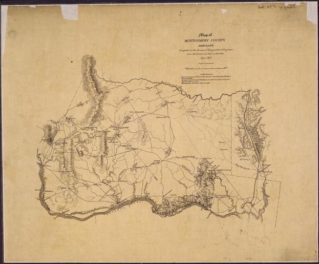
| View Original: | Map_of_Montgomery_County,_Maryland._Compiled_in_the_Bureau_of_Topographical_Engineers_from_the_latest_and_best..._-_NARA_-_305573.tif (5449x4507) | |||
| Download: | Original | Medium | Small | Thumb |
| Courtesy of: | commons.wikimedia.org | More Like This | ||
| Keywords: Map of Montgomery County, Maryland. Compiled in the Bureau of Topographical Engineers from the latest and best... - NARA - 305573.tif Scope and content General notes 305573 Local identifier 77-CWMF-F72 War Department Office of the Chief of Engineers 1818 - 09/18/1947 Cartographic and Architectural Records Section Special Media Archives Services Division NWCS-C National Archives at College Park 8601 Adelphi Road College Park MD 20740-6001 09/1862 Record group Record Group 77 Records of the Office of the Chief of Engineers 1789 - 1999 Record group ARC 406 Civil Works Map File compiled 1800 - 1947 Series ARC 305566 File unit File unit ARC Variant control numbers NAIL Control Number NWDNC-77-CWMF-F72 yes Other versions <gallery> File Map_of_Montgomery_County _Maryland _Compiled_in_the_Bureau_of_Topographical_Engineers_from_the_latest_and_best _-_NARA_-_305573 tif tif File Map_of_Montgomery_County _Maryland _Compiled_in_the_Bureau_of_Topographical_Engineers_from_the_latest_and_best _-_NARA_-_305573 jpg jpg </gallery> NARA-cooperation PD-USGov Old maps of the United States NARA TIF images with categorized JPGs | ||||