MAKE A MEME
View Large Image

| View Original: | Mexico Federal District location map.svg (309x304) | |||
| Download: | Original | Medium | Small | Thumb |
| Courtesy of: | commons.wikimedia.org | More Like This | ||
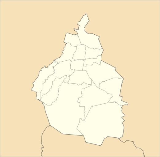
| Keywords: Mexico Federal District location map.svg en Own work as from the map of municipalities of INEGI and costs taken from OpenStreetMap org under Creative Commons Attribution-Share Alike 2 0 Generic Licence Limits of map West 99 5° W Est 98 8º W North 19 65° N South 19° N 2011-08-09 own Addicted04 cc-zero Uploaded with UploadWizard Location maps of Mexico City SVG maps of Mexico D F | ||||