MAKE A MEME
View Large Image
| View Original: | Michigan 12 1926 map.png (2205x1286) | |||
| Download: | Original | Medium | Small | Thumb |
| Courtesy of: | commons.wikimedia.org | More Like This | ||
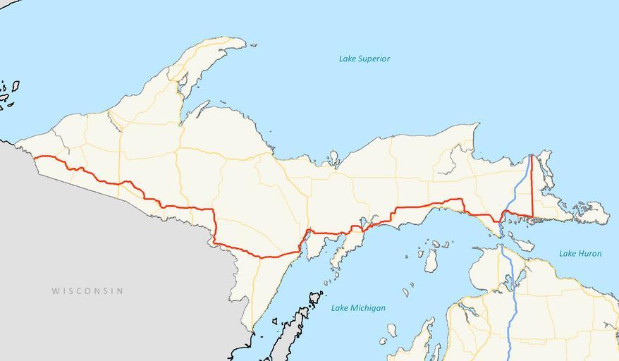
| Keywords: Michigan 12 1926 map.png Map of M-12 as it existed in 1926 just before being decommissioned own using cite web Michigan Center for Geographic Information Geographic Data Library Michigan Department of Information Technology http //www mcgi state mi us/mgdl/ rel thext action thmname cid 14 cat MI+Geographic+Framework+All+Roads+ 28v7b 29 July 17 2006 2008-02-27 Stratosphere Own work all rights released Public domain StratosphereMap Road maps of Michigan 012 Upper Peninsula | ||||