MAKE A MEME
View Large Image

| View Original: | Militargrenze,_Wojwodowena_und_Banat.jpg (900x312) | |||
| Download: | Original | Medium | Small | Thumb |
| Courtesy of: | commons.wikimedia.org | More Like This | ||
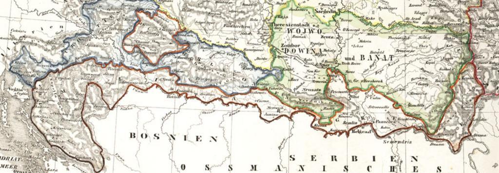
| Keywords: Militargrenze, Wojwodowena und Banat.jpg Karte der √∂sterreichischen Milit√§rgrenze aus dem 19 Jahrhundert Historic map of the military frontier of Austria-Hungary also named Krajina and of Vojvodina Carte historique des confins militaires en Autriche-Hongrie aussi appel√© Krajina de Bild Milit√§rgrenze jpg 2004 Scan plp PD-old 150px Voivodeship of Serbia and Banat of Temeschwar Habsburg Military Frontier Kingdom of Croatia Habsburg Kingdom of Slavonia Old maps of Croatia Old maps of Serbia Old maps of Vojvodina Maps of the Habsburg period in the history of Serbia Maps of the history of Vojvodina Maps of the history of Banat Maps of the history of Baƒçka Maps of the history of Syrmia Maps of the history of Croatia 1526 ì1918 Maps of the history of Slavonia Maps of the Austrian Empire | ||||