MAKE A MEME
View Large Image

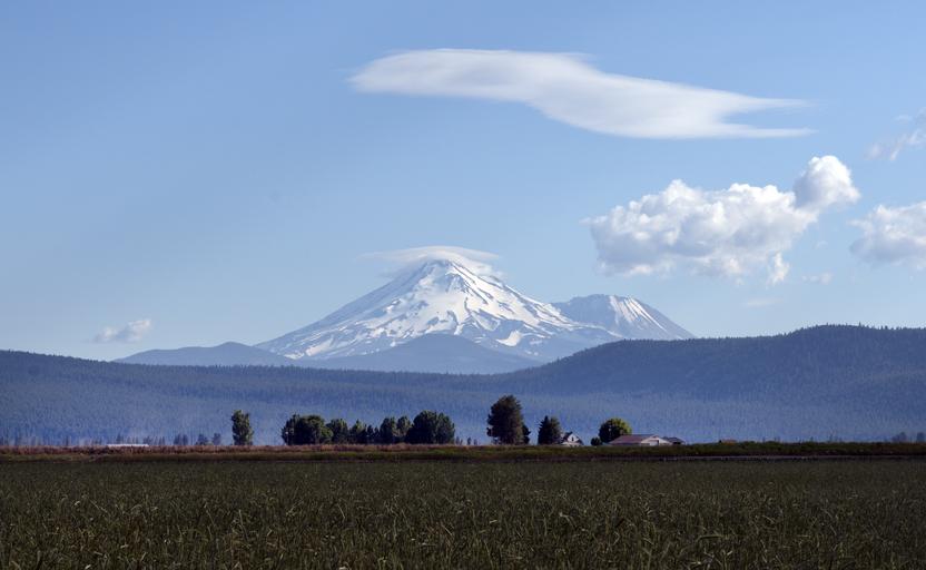
| View Original: | Mount Shasta located at the southern end of the Cascade Range in Siskiyou County, California LCCN2013633146.tif.tiff (3900x2400) | |||
| Download: | Original | Medium | Small | Thumb |
| Courtesy of: | commons.wikimedia.org | More Like This | ||
| Keywords: Mount Shasta located at the southern end of the Cascade Range in Siskiyou County, California LCCN2013633146.tif 1 photograph digital tiff file color Notes Title date and keywords provided by the photographer ; Credit line The Jon B Lovelace Collection of California Photographs in Carol M Highsmith's America Project Library of Congress Prints and Photographs Division ; Mount Shasta is the second highest peak in the Cascades and the fifth highest in California The mountain and its surrounding area are managed by the U S Forest Service Shasta-Trinity National Forest ; Forms part of Jon B Lovelace Collection of California Photographs in Carol M Highsmith's America Project in the Carol M Highsmith Archive ; Gift; The Capital Group Companies Charitable Foundation in memory of Jon B Lovelace; 2012; DLC/PP-2012 063 2012 Creator Carol M Highsmith Library of Congress Catalog http //lccn loc gov/2013633146 Image download https //cdn loc gov/master/pnp/highsm/22600/22689a tif Original url http //hdl loc gov/loc pnp/highsm 22689 No known restrictions on publication LOC-image highsm 22689 PD-Highsmith Images uploaded by Fæ The Jon B Lovelace Collection of California Photographs in Carol M Highsmith's America Project Library of Congress Prints and Photographs Division Jon B Lovelace Collection of California Photographs in Carol M Highsmith's America Project in the Carol M Highsmith Archive Photographs by Carol M Highsmith | ||||