MAKE A MEME
View Large Image

| View Original: | Mündung der Loire.jpg (5500x4865) | |||
| Download: | Original | Medium | Small | Thumb |
| Courtesy of: | commons.wikimedia.org | More Like This | ||
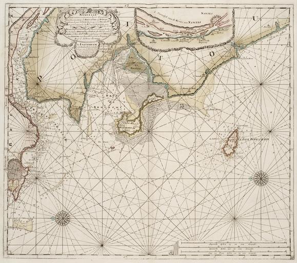
| Keywords: Mündung der Loire.jpg de Seekartenblatt von 1790 mit der Mündung der Loire bei Nantes Bay of Biscay at Loire western France 18th-century print 2008-02-06 17 03 26 Het Scheepvaartmuseum Amsterdam; Het Geheugen van Nederland http //www geheugenvannederland nl/ /nl/items/NESA01 K02-0860/ p 5 i 2 t 112 st Serie sc isPartOf 20 3D 20 22NESA01 3A03 22/ Johannes van Keulen 1654-1715 printed 1790 Baai von Bourneuf jpg PD-Art Uploaded with UploadWizard Old maps of France Bay of Biscay Maps of Loire River Bay of Biscay Maps of the Bay of Biscay 1700 Nautical charts Bay of Biscay Maps showing 18th-century history Bay of Biscay 18th-century prints Bay of Biscay | ||||